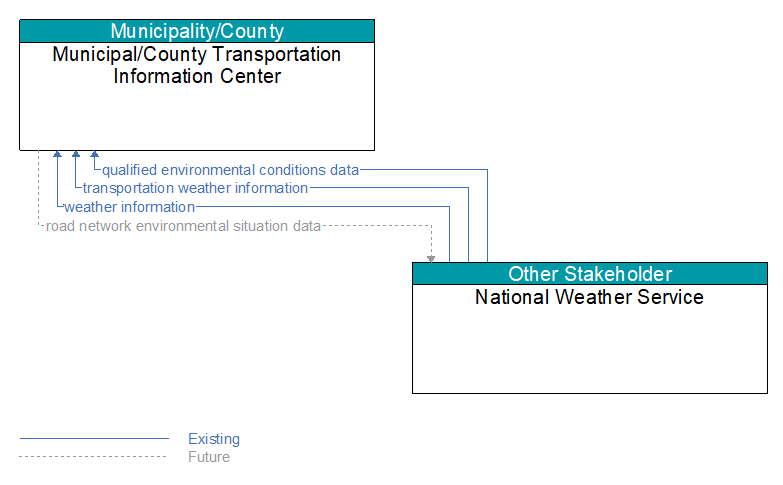
Interface: Municipal/County Transportation Information Center - National Weather Service
Information Flow Definitions
qualified environmental conditions data (Existing)
Current road conditions (e.g., surface temperature, subsurface temperature, moisture, icing, treatment status) and surface weather conditions (e.g., air temperature, wind speed, precipitation, visibility) that has had quality checks performed on it and has been formatted and consolidated by the Clarus system. Attributes relating to the data collection (and aggregation) are also included.
road network environmental situation data (Future)
Aggregated environmental situation data collected from vehicles and other sources for the road network. Aggregated information would include measured air temperature, exterior light status, wiper status, sun sensor status, rain sensor status, traction control status, ALB status, and other collected vehicle system status and sensor information for the region.
transportation weather information (Existing)
Current and forecast road conditions and weather information (e.g., surface condition, flooding, wind advisories, visibility, etc.) associated with the transportation network. This information is of a resolution, timeliness, and accuracy to be useful in transportation decision making.
weather information (Existing)
Accumulated forecasted and current weather data (e.g., temperature, pressure, wind speed, wind direction, humidity, precipitation, visibility, light conditions, etc.).