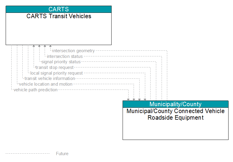
Interface: CARTS Transit Vehicles - Municipal/County Connected Vehicle Roadside Equipment
Information Flow Definitions
intersection geometry (Future)
The physical geometry of an intersection covering the location and width of each approaching lane, egress lane, and valid paths between approaches and egresses. This flow also defines the location of stop lines, cross walks, specific traffic law restrictions for the intersection (e.g., turning movement restrictions), and other elements that support calculation of a safe and legal vehicle path through the intersection.
intersection status (Future)
Current signal phase and timing information for all lanes at a signalized intersection. This flow identifies active lanes and lanes that are being stopped and specifies the length of time that the current state will persist for each lane. It also identifies signal priority and preemption status and pedestrian crossing status information where applicable.
local signal priority request (Future)
Request from a vehicle to a signalized intersection for priority at that intersection. This flow also allows the vehicle to cancel a priority request (for example, when the vehicle clears the intersection).
signal priority status (Future)
In response to a request for signal priority, this flow indicates the status of the priority or preemption request.
transit stop request (Future)
Notification that a transit stop has been requested by a transit user at a roadside stop. This flow identifies the route, stop, and the time of the request.
transit vehicle information (Future)
Information about the transit vehicle route and stops, including current location along the route and next stop.
vehicle location and motion (Future)
Data describing the vehicle's location in three dimensions, heading, speed, acceleration, braking status, and size.
vehicle path prediction (Future)
The predicted future vehicle path of travel. This flow includes an indication of the future positions of the transmitting vehicle that can be used by receiving vehicles to support coordinated driving maneuvers and enhance in–lane and out–of–lane threat classification.