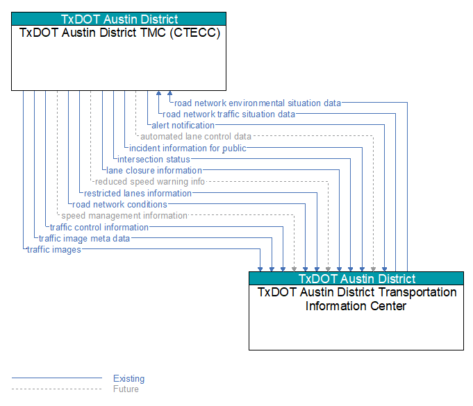
Interface: TxDOT Austin District TMC (CTECC) - TxDOT Austin District Transportation Information Center
Information Flow Definitions
alert notification (Existing)
Notification of a major emergency such as a natural or man–made disaster, civil emergency, or child abduction for distribution to the public. The flow identifies the alert originator, the nature of the emergency, the geographic area affected by the emergency, the effective time period, and information and instructions necessary for the public to respond to the alert. This flow may also identify specific information that should not be released to the public.
automated lane control data (Future)
Control commands and operating parameters for automated vehicle operations, including tightly coupled platooned groups of vehicles operating in dedicated or mixed–mode lanes. This flow includes platoon parameters including maximum platoon size, target speeds and gaps, and vehicle restrictions.
incident information for public (Existing)
Report of current desensitized incident information prepared for public dissemination.
intersection status (Existing)
Current signal phase and timing information for all lanes at a signalized intersection. This flow identifies active lanes and lanes that are being stopped and specifies the length of time that the current state will persist for each lane. It also identifies signal priority and preemption status and pedestrian crossing status information where applicable.
lane closure information (Existing)
Lane closure information provided to passing vehicles. This flow provides information about roadway configuration changes such as lane closures and shifts.
reduced speed warning info (Future)
Real time notification of vehicle detections, measured vehicle characteristics (e.g., vehicle height), speed measurements, and warnings issued by roadway infrastructure. This flow can also include roadway configuration data, current speed limits, and warning parameters and thresholds enabling local speed management application configuration and management.
restricted lanes information (Existing)
This flow defines the location, duration, and operating parameters for lanes that are reserved for the exclusive use of certain types of vehicles (e.g., transit vehicles) or vehicles that meet other qualifications (e.g., number of occupants, low emissions criteria). It identifies the lane(s), the start and stop locations, start and end times, vehicle restrictions, speed limits and platooning parameters.
road network conditions (Existing)
Current and forecasted traffic information, road and weather conditions, and other road network status. Either raw data, processed data, or some combination of both may be provided by this flow. Information on diversions and alternate routes, closures, and special traffic restrictions (lane/shoulder use, weight restrictions, width restrictions, HOV requirements) in effect is included.
road network environmental situation data (Existing)
Aggregated environmental situation data collected from vehicles and other sources for the road network. Aggregated information would include measured air temperature, exterior light status, wiper status, sun sensor status, rain sensor status, traction control status, ALB status, and other collected vehicle system status and sensor information for the region.
road network traffic situation data (Existing)
Aggregated route usage, travel times, and other aggregated data collected from probe vehicles that can be used to estimate current traffic conditions.
speed management information (Future)
Target speeds, speed advisories, and/or speed limit information provided to a vehicle. The information includes the current speed value(s), the route segment(s) and lane(s) where the speeds apply, and an indication of whether the speeds are suggested target speeds, posted advisory speeds, or enforceable speed limit values. This flow may also include information about the reason for reduced speeds and provide target lane information if lane changes are required.
traffic control information (Existing)
Represents the flow of traffic control and status information between centers. This is reporting only, not actual control. This specifically includes the current state of any demand management strategies that have been implemented.
traffic image meta data (Existing)
Meta data that describes traffic images. Traffic images (video) are in another flow.
traffic images (Existing)
High fidelity, real–time traffic images suitable for surveillance monitoring by the operator or for use in machine vision applications. This flow includes the images. Meta data that describes the images is contained in another flow.